Enjoyable South Landing Fiver Walk
Moderate Difficulty Walk of 5 miles Distance
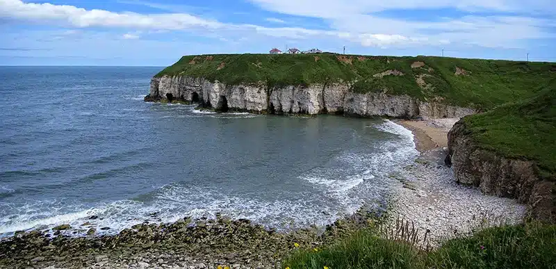
Take a stroll through the countryside of the Flamborough Head. Discover a land of the Vikings and a stately home.
Details for South Landing Fiver Walk
- Reference: E48
- Circular walk: Circular
- Difficulty: Moderate
- Walk type: Coast and Beach Walks
- Ordnance Survey Explorer Map: 295
- Car Parking Facility: Car park at Danes Dyke
- Refreshments: Snacks outlet at Danes Dyke and refreshments at South Landing
- Public Conveniences: Danes Dyke and near to Flamborough lighthouse
Further information
Accessibility
Note: the toilets at South Landing may not be open out of season, and those in the Lighthouse area are closed overnight.There is access to the beach at Danes Dyke, South Landing and Sewerby.
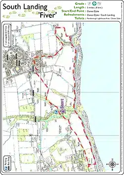
Download “South Landing Fiver Walk” map
Locations
- Start point: Danes Dyke (pay and display)
- End point: Danes Dyke
- Towns and villages: Flamborough and Sewerby
- Parish: Flamborough
- Ward: Bridlington North
- Start Easting: 521,506.00
- Start Northing: 469,563.00
- End Easting: 521,506.00
- End Northing: 469,563.00
Distances
- Distance (miles): 5
- Distance (kilometres): 8
- Distance range: 0-5 miles