The Headland Way Walk
Moderate Difficulty Walk of 16 miles Distance
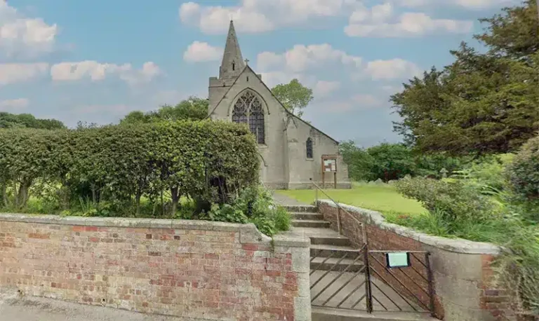
Follow the bird trail around the chalk cliffs of Flamborough Head.
Details for The Headland Way Walk
- Reference: E30
- Circular walk: Circular
- Difficulty: Moderate
- Walk type: Coast and Beach Walks
- Ordnance Survey Explorer Map: 301
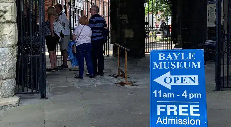
- Car Parking Facility: Roadside near the Baylegate Museum, Bridlington
- Refreshments: Pubs and shops in Bridlington and Flamborough
- Public Conveniences: North Landing, Flamborough
Further information
Accessibility
This route:– contains some steep slopes.- contains kissing gates and hand gates.- contains steps and/or stiles.- may involve walking through fields with livestock.- crosses at least one road.- contains surfaces which can be boggy in wet weather.- may involve walking through planted crops.- contains some uneven surfaces.
Additional information
This cliff top walk links Bridlington with Filey. Badges and certificates are available for those who successfully complete the walk. For a full route and further details please contact Mr Mike Collins, Headlands Drive, Bridlington, YO16 5XZ. Tel 01262 679144
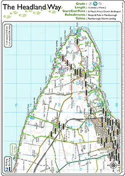
Download “The Headland Way Walk” map
Locations
- Start point: Various
- End point: Various
- Towns and villages: Bempton, Buckton and Flamborough
- Parish: Bempton
- Ward: Bridlington Central and Old Town
- Start Easting: 517,655.00
- Start Northing: 467,960.00
- End Easting: 517,655.00
- End Northing: 467,960.00
Distances
- Distance (miles): 16
- Distance (kilometres): 26
- Shortened distance: 12 miles
- Distance range: 9+ miles