South Landing Walk, Bridlington
Moderate Difficulty Walk of 4 miles Distance
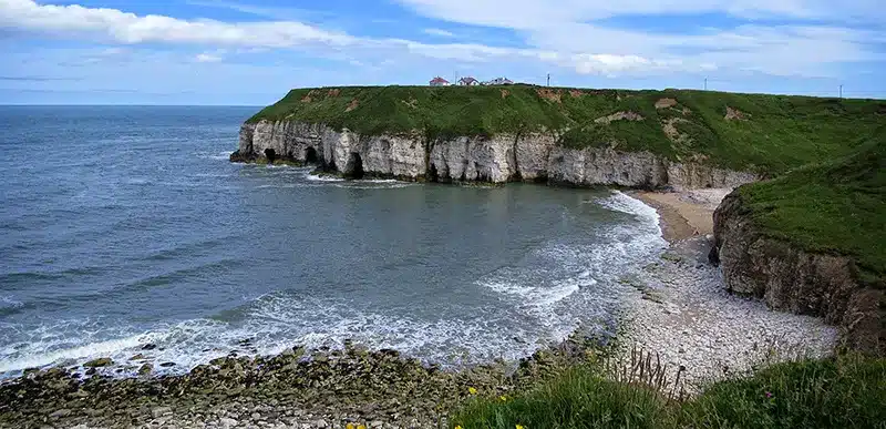
Take a pleasant cliff top walk before strolling along some field headlands and minor roads.
Details for South Landing Walk, Bridlington
- Reference: E16
- Circular walk: Circular
- Difficulty: Moderate
- Walk type: Coast and Beach Walks
- Ordnance Survey Explorer Map: 301
- Car Parking Facility: South Landing
- Refreshments: Pubs in Flamborough
- Public Conveniences: Flamborough, North Landing
Further information
Features of interest
- Although normally quiet, you may catch sight of that animal called the ‘twitcher’ – more commonly known as the birdwatcher! When a rare bird is sighted, ‘twitchers’ travel from all parts of Britain to view it. For example, in 1991, three rare birds were spotted. One was a 5” Desert Warbler, a native of the Middle and Far East. Only six have ever been officially recorded in Britain. At about the same time, a dark brown Dusty Warbler was seen at Danes Dyke and a Siberian Chat was seen near the lighthouse. The result was an influx of ‘twitchers’ armed with cameras and binoculars all trying to spot one of the elusive little birds.
- In the fields to the east of Old Fall Plantation was a tumulus (burial mound) on Crossbow Hill. Unfortunately this 5,000-year old mound had no legal protection and has, like many others, been ploughed out.
- Along the road to Flamborough, look at the fields for signs of the medieval ridge and furrow farming technique. This dates from the time when the fields around this part of Flamborough were farmed in the old open field strip system. Each man would have had a number of strips to work in different vast fields. The modern field layout is the result of the Enclosure Awards of the 1700s where land was given in blocks proportionate to how many strips a man had.
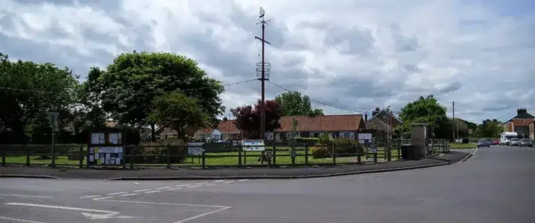
- You can see that the village of Flamborough is situated in a natural hollow, sheltering it from the cold northerly winds. At Flamborough, you’ll pass Mereside and North Mere Green. Until 1938, this was a large mere, or pond, and children sailed their boats on it in summer and skated on it in winter. The donkeys used for hauling the fish catch up the slope at North Landing were grazed here after it was filled. Every fisherman had one, giving numbers of around 100 at the village. Two old men charged one shilling a week to care for a donkey all year long. Grass verges were also used around the village.
Accessibility
This route:– contains some steep slopes.- contains steps but no other barriers.- contains a mixture of stiles and gates (stiles are to be removed in the future).- crosses at least one road.- may involve walking through planted crops.- contains some uneven surfaces.
Additional information
– The South Sea Plantation is an important nesting site for migrating birds so please keep dogs and young children under control.
Download walk map

Locations
- Start point: Flamborough or South Landing
- End point: Flamborough or South Landing
- Towns and villages: Flamborough and Marton
- Parish: Flamborough
- Ward: Bridlington North
- Start Easting: 523,039.00
- Start Northing: 469,498.00
- End Easting: 523,039.00
- End Northing: 469,498.00
Distances
- Distance (miles): 4
- Distance (kilometres): 6.4
- Lengthened distance: 4 miles
- Shortened distance: 4 miles
- Distance range: 0-5 miles