
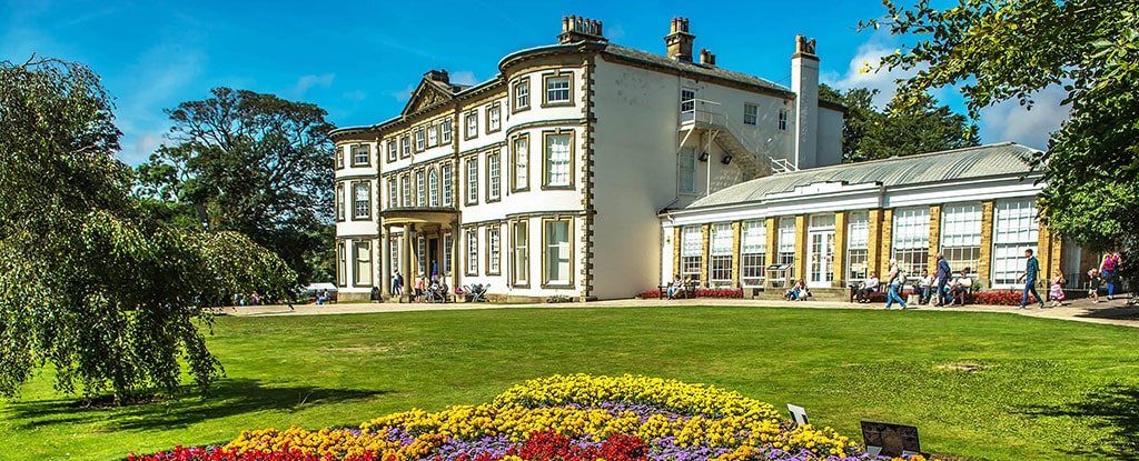
Sewerby Hall to Danes Dyke Walk
Easy Difficulty Walk of 2 miles Distance
An easy, interesting, walk around Sewerby. Part of the Healthy Walks scheme.
Details for Sewerby Hall to Danes Dyke Walk
- Reference: HWSEWE2
- Circular walk: Circular
- Difficulty: Easy
- Walk type: Easy Walks, Healthy Walks
- Ordnance Survey Explorer Map: 295
- Car Parking Facility: Sewerby Hall car park
- Refreshments: Shops in Sewerby
- Public Conveniences: Sewerby
Further information
Accessibility
This route:– contains some gentle slopes.- contains a mixture of stiles and gates.- contains surfaces which can be boggy in wet weather.- contains some uneven surfaces.
Download “Sewerby Hall to Danes Dyke Walk” map

Locations
- Start point: Sewerby Hall car park
- End point: Sewerby Hall car park
- Towns and villages: Sewerby
- Parish: Bridlington
- Ward: Bridlington North
- Start Easting: 520110.19
- Start Northing: 468983.61
- End Easting: 520110.19
- End Northing: 468983.61
Distances
- Distance (miles): 2
- Distance (kilometres): 3
- Distance range: 0-5 miles


