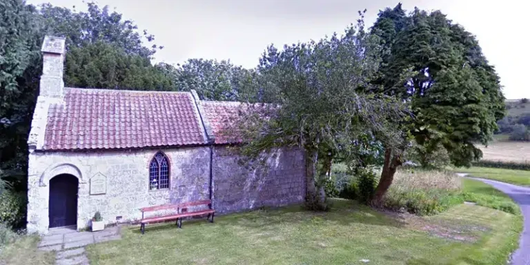
Enjoyable Rudston Ramble
Moderate Difficulty Walk of 15 miles Distance
On this scenic route you will obtain stunning views across the Plain of Holderness.
Details for Rudston Ramble
- Reference: E13
- Circular walk: Circular
- Difficulty: Moderate
- Walk type: Mountain Biking and Horse Riding Routes
- Ordnance Survey Explorer Map: 101
- Car Parking Facility: Kilham
- Refreshments: Pubs in Kilham and Rudston
- Public Conveniences: Hilderthorpe Road and the Spa, both in Bridlington
Further information
Features of interest
- Rudston is believed to be the oldest inhabited village in England. The famous Monolith (or Rood-stone) from which the village takes its name is in the churchyard. It stands at 25 feet 4 inches high above the ground (and some say the same again below ground, although the buried length has never been proven). One of the most famous legends surrounding the siting of the Monolith concerns the Devil. It is said that he picked up the stone and threw it at the church but missed and where it landed is where it stands today. The stone of the Monument is thought to have come from Cayton which is about ten miles away.
- Kilham was once a thriving market town with enough large businesses to make it the main centre of the Wolds. Unfortunately as Driffield prospered with the transportation of goods along its canal, Kilham declined.
- Boyton’s village church is called St. Andrew’s. The lectern of the church has a turkey as the design because the local landowning family, the Stricklands, are believed to have introduced the bird to England. Queen Henrietta Maria stayed at Boynton Hall in 1643 on her way to York with arms for the Civil War. The Strickland family were not Royalists so she stole the gold plate and left a portrait of herself in its place! Boynton is now considerably smaller then it was in the Middle Ages.
Accessibility
The Rudston Ramble:– contains some steep slopes.- does not contain barriers.- crosses at least one road.
Additional information
– The grade only applies if you follow this route on foot.
Download “Rudston Ramble” map

Locations
- Start point: Kilham
- End point: Kilham
- Towns and villages: Boynton, Kilham and Rudston
- Parish: Kilham
- Ward: East Wolds and Coastal
- Start Easting: 506,373.00
- Start Northing: 464,357.00
- End Easting: 506,373.00
- End Northing: 464,357.00
Distances
- Distance (miles): 15
- Distance (kilometres): 24
- Lengthened distance: 15 miles
- Shortened distance: 15 miles
- Distance range: 9+ miles