A Short Stroll From Rudston
Moderate Difficulty Walk of 4 miles Distance
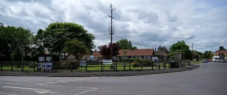
Take a walk above Rudston to see views of the village and Thorpe Hall.
Details for A Short Stroll From Rudston
- Reference: E2
- Circular walk: Circular
- Difficulty: Moderate
- Walk type: Wolds Walks
- Ordnance Survey Explorer Map: 295
- Car Parking Facility: Roadside parking in South Side Road, Rudston
- Refreshments: The Bosville Arms, Rudston
- Public Conveniences: Various sites in Bridlington
Further information
Features of interest
- Rudston lies in the valley of the Gypsey Race and is well-known for two reasons:
- At 25½ feet high (with a lot more beneath the ground), the Rudston Monolith is said to be the tallest standing stone in Britain. The Monolith was erected by Neolithic or Bronze Age people probably for religious purposes. How they brought it to Rudston remains a mystery, as the nearest stone of the same type is at least 10 miles to the north.
- Winifred Holtby, the author of the novel “South Riding”, is buried in the churchyard alongside the graves of the Macdonalds of the Isles. “South Riding” tells the story of life in an agricultural community in the 1930s. It is set in Holderness and information about the novel, and the area, is widely available.
Accessibility
This route:– contains some steep slopes.- does not contain barriers.- contains surfaces which can be boggy in wet weather.
Download “A Short Stroll From Rudston” map

Locations
- Start point: South Side Lane in Rudston
- End point: South Side Lane in Rudston
- Towns and villages: Haisthorpe and Rudston
- Parish: Rudston
- Ward: East Wolds and Coastal
- Start Easting: 509,573.00
- Start Northing: 467,258.00
- End Easting: 509,573.00
- End Northing: 467,258.00
Distances
- Distance (miles): 4
- Distance (kilometres): 6.5
- Distance range: 0-5 miles